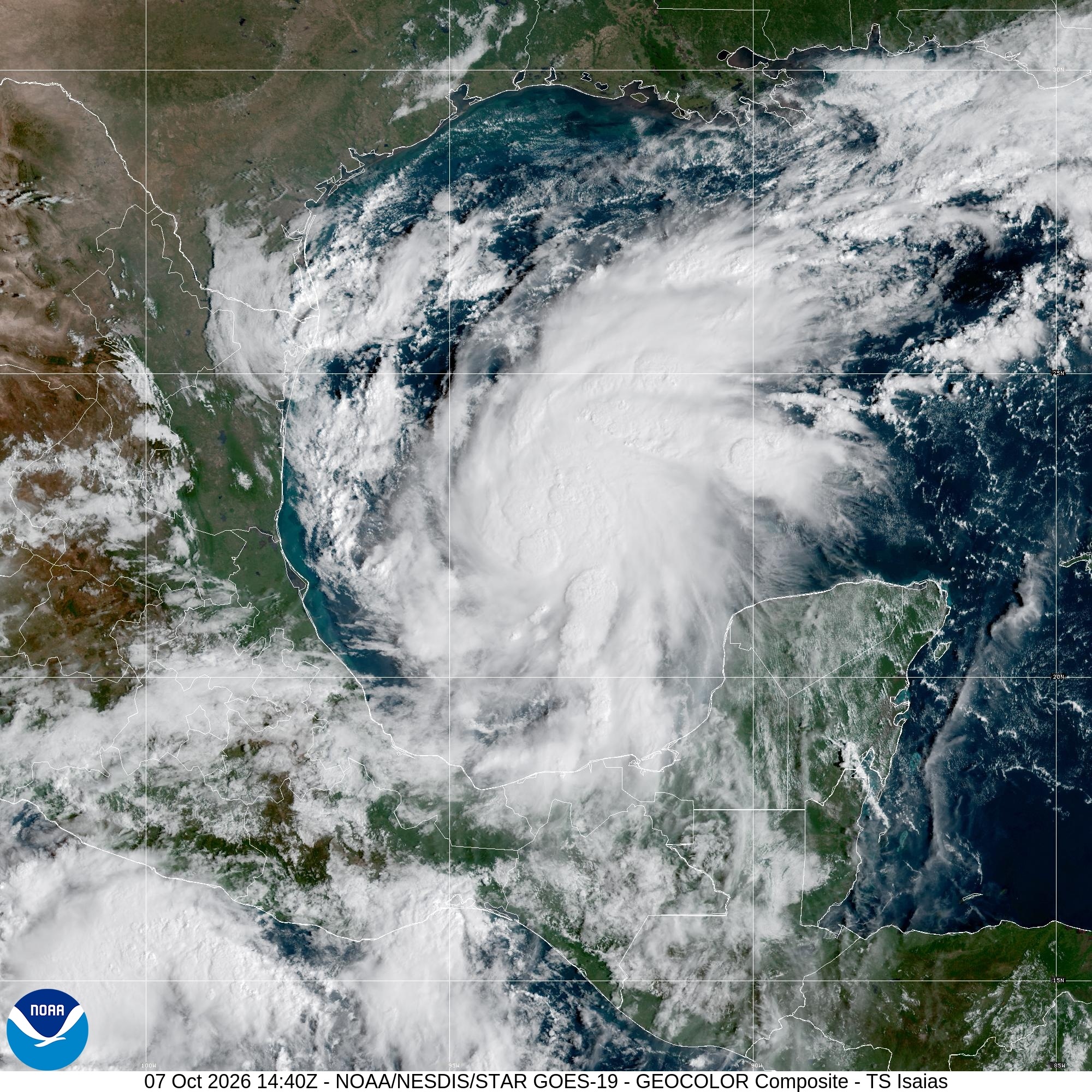
Hurricane and storm surge watches are now in effect along parts of the northern Gulf Coast as Tropical Storm Isaias strengthens.
The National Hurricane Center said at 10 a.m. CDT Wednesday that Isaias had maximum sustained winds of 45 mph and was moving east-northeast at 8 mph. Forecasters expect the storm to turn northeast and north on Thursday and Friday, approaching the U.S. northern Gulf Coast on Friday.
Where the watches are in effect
The hurricane watch runs from Bay St. Louis, Mississippi, to Indian Pass, Florida. A storm surge watch stretches from the mouth of the Mississippi River east to Yankeetown, Florida.
Tropical storm watches cover the Louisiana coast from the Jefferson-Plaquemines Parish line to west of Bay St. Louis, plus the Florida coast from east of Indian Pass to the Aucilla River.
The current watch areas cover the Gulf Coast from southeastern Louisiana through Florida’s Big Bend. They do not extend to Orlando.
What the forecast says
The center expects Isaias to pass north of the Yucatán Peninsula on Thursday. Rapid strengthening is forecast over the next day or two, with Isaias expected to become a hurricane by Thursday.
Hurricane conditions could begin in the hurricane watch area late Friday. Tropical storm conditions could begin in the watch areas around midday Friday.
Track Isaias
The National Hurricane Center has the latest public advisory for Tropical Storm Isaias.